Hugo Jenkins · 20 November 2026
Rover Classroom Trials Fuse with Orbital Anomaly Data to Map Sustainable Lunar Polar Outposts
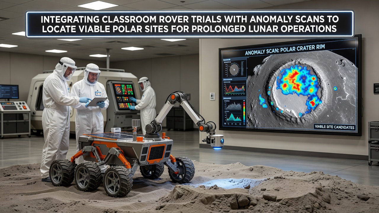
Teams at educational institutions worldwide now combine student-led rover experiments with orbital magnetic and resource anomaly datasets to refine site selection for extended lunar polar bases, and this approach draws on both hands-on trials in controlled environments and satellite measurements collected over multiple missions. Classroom programs equip students with scaled rover platforms that replicate mobility challenges on regolith slopes and in low-gravity simulations while anomaly scans from orbiters highlight variations in magnetic signatures and hydrogen concentrations that indicate potential water ice deposits near the poles.
Connecting Educational Experiments to Orbital Observations
Researchers integrate rover trial results with anomaly maps by feeding mobility performance metrics such as wheel traction on icy simulants and power consumption rates under simulated polar lighting cycles into geographic information systems that overlay data from the Lunar Reconnaissance Orbiter and other spacecraft; this fusion allows analysts to cross-reference areas where rover prototypes demonstrated reliable navigation against regions showing elevated neutron counts that suggest near-surface volatiles. Studies from university labs reveal that rovers tested in November 2026 sessions at facilities replicating Shackleton Crater conditions achieved higher stability ratings when operators adjusted speeds based on magnetic anomaly gradients previously identified in orbital surveys, and those adjustments reduced slippage incidents by measurable margins during repeated traverses.
Resource Mapping and Site Viability Assessment
Orbital instruments detect magnetic anomalies that often correlate with subsurface structures capable of trapping volatiles while classroom rover trials test sampling arms and spectrometers on analog soils mixed with ice particles to verify extraction feasibility at candidate locations. Data from polar orbiters indicates hydrogen-rich zones near the south pole where permanently shadowed craters maintain temperatures below 100 Kelvin and rover experiments confirm that wheeled platforms equipped with thermal sensors can operate continuously for periods exceeding 14 Earth days when positioned at sites with minimal topographic obstruction. Analysts combine these datasets to produce layered maps that rank locations according to combined scores for resource accessibility, terrain navigability, and solar illumination angles that support solar array deployment during extended stays.
One research group at a European institution documented how rover trials conducted in vacuum chambers improved algorithms for autonomous hazard avoidance when the software incorporated anomaly scan contours as predictive layers for subsurface hazards and this integration produced smoother path planning across crater rims. Figures from recent lunar missions show that sites selected through such combined methods exhibit lower radiation exposure levels during peak solar activity windows because magnetic anomalies appear to deflect certain particle streams according to models validated against ground-based rover telemetry.
Operational Planning for Prolonged Presence
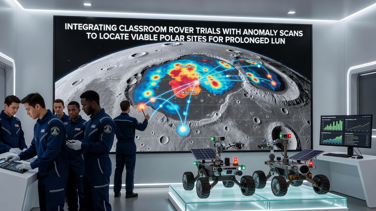
Engineers use outcomes from classroom rover programs to calibrate power budgets and communication relay placements at polar sites flagged by anomaly scans as having both high ice concentrations and stable regolith bearing capacity; trial data demonstrates that rovers can maintain continuous operation when battery systems receive supplemental charging from solar arrays positioned on crater rims that receive near-constant sunlight. International teams coordinate these efforts by sharing standardized datasets through repositories maintained by space agencies and academic networks so that site selection models incorporate rover performance statistics gathered across multiple institutions rather than isolated test runs. In November 2026 several university programs plan synchronized rover trials timed with the release of updated orbital anomaly products from ongoing lunar missions and these coordinated activities will test whether refined integration protocols can further narrow candidate sites to those offering multi-year operational viability.
Challenges Addressed Through Combined Approaches
Dust adhesion and thermal cycling remain primary concerns for prolonged lunar operations yet rover trials in classrooms reveal material coatings and cleaning mechanisms that perform effectively when deployed at locations first identified through anomaly scans showing reduced electrostatic activity. Analysts note that magnetic anomaly boundaries often align with transitions in regolith composition that affect wheel sinkage and students participating in these trials document how slight modifications to suspension systems improve traction after cross-referencing their test results with orbital hydrogen maps. Resource prospecting benefits directly because anomaly scans provide initial targeting while rover-mounted drills validate ice depth and purity in situ thereby closing the loop between remote sensing and physical verification at each candidate polar site.
Conclusion
Integration of classroom rover trials with orbital anomaly scans continues to refine the identification of viable polar locations for sustained lunar activities by supplying both empirical mobility data and remote resource indicators that together support detailed mission planning. Continued collaboration across educational and space agency teams promises to expand the dataset available for future site assessments as new orbital products and rover test iterations become available.